
UK weather: Met Office reveals when summer will return after chilly June
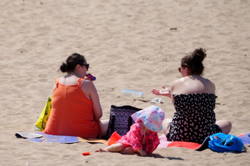
Britons got a short but sweet taste of the summer heat last week as temperatures rose to 31C in some parts of the country.
The welcomed heat came after a drizzly and cold start to summer, with temperatures as low as 5C being recorded in June.
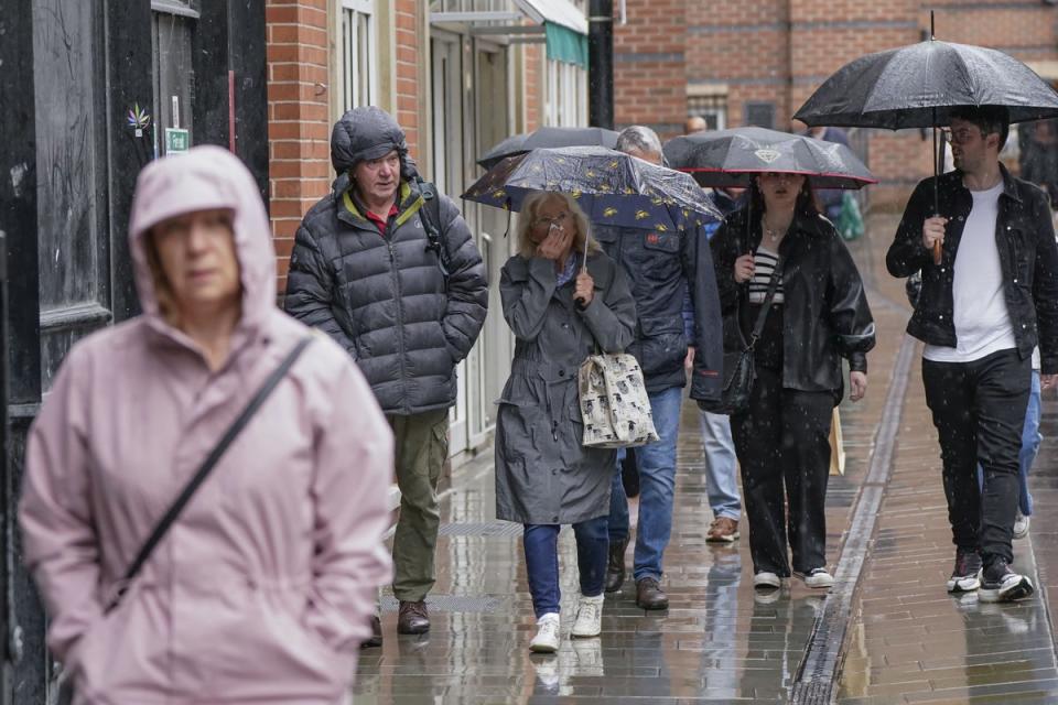
Sadly, the mini heatwave didn’t stick around for long, with grey skies and chilly temperatures returning to the nation over the weekend and into this week.
According to the Met Office, June brought lower than average temperatures despite the blast of heat in the later days.
A Met Office spokesperson said: “Temperatures in the first two weeks of June were around 2°C below average. This was due to northerly winds bringing cold Arctic air across the UK in what was a cool start to meteorological summer.
“The second half of the month saw high pressure as the jet stream moved north, bringing warmth to many, especially in the south. Some areas of southeast England exceeded 28°C for several days.”
The warm weather was short-lived, and temperatures returned to around or below average for the last few days of the month.
However, there is a glimmer of hope that summer temperatures may return sooner rather than later - with the forecaster predicting a boost in temperatures next week.
“There are tentative signs that following the early part of next week, conditions may begin to gradually turn a bit more settled, at least for a time,” Met Office spokesperson Andrea Bishop said.
“This particularly so across eastern parts, with temperatures more widely trending back up to average and then potentially above average as the week progresses.”
This will come after a “cool” and “showery” weekend with frequent showers expected on Saturday, particularly in the northwest.
The beginning of next week will also see further cloud and rain with stronger winds at times in the west of the country.
The latter part of July is also disappointingly expected to bring colder and unsettled weather, with the Met Office forecast for the 16 to 30 July predicting: “As we go through the rest of the month, the latest information suggests that a return to cooler and more unsettled weather is now slightly favoured.
“The forecast signals are all rather weak and conflicting, so confidence in a definitive story at this range can be nothing other than very low.”

Here is the Met Office’s full five day forecast:
Today:
A day of sunshine and well scattered showers on Tuesday, these mainly affecting Scotland and Northern Ireland. Turning breezy and cloudy in the far northwest later with outbreaks of rain. Feeling pleasant in any sunshine.
Tonight:
Rain continuing to spread eastwards across Scotland, Northern Ireland and northern England this evening and overnight. Generally drier further south but remaining cloudy.
Wednesday:
A cloudy and damp day for many on Wednesday, particularly in the north of the UK. Turning especially breezy in the northwest and feeling cool under the cloud and rain.
Outlook for Thursday to Saturday:
Brighter on Thursday with blustery showers. Winds becoming lighter on Friday with outbreaks of rain in the south. Sunshine and showers on Saturday. Temperatures remaining on the cool side.
