
The classic travel guidebooks that inspire my trips

‘A rollicking account of a walking tour around Cornwall in 1850 … to “the savage regions beyond” Plymouth’
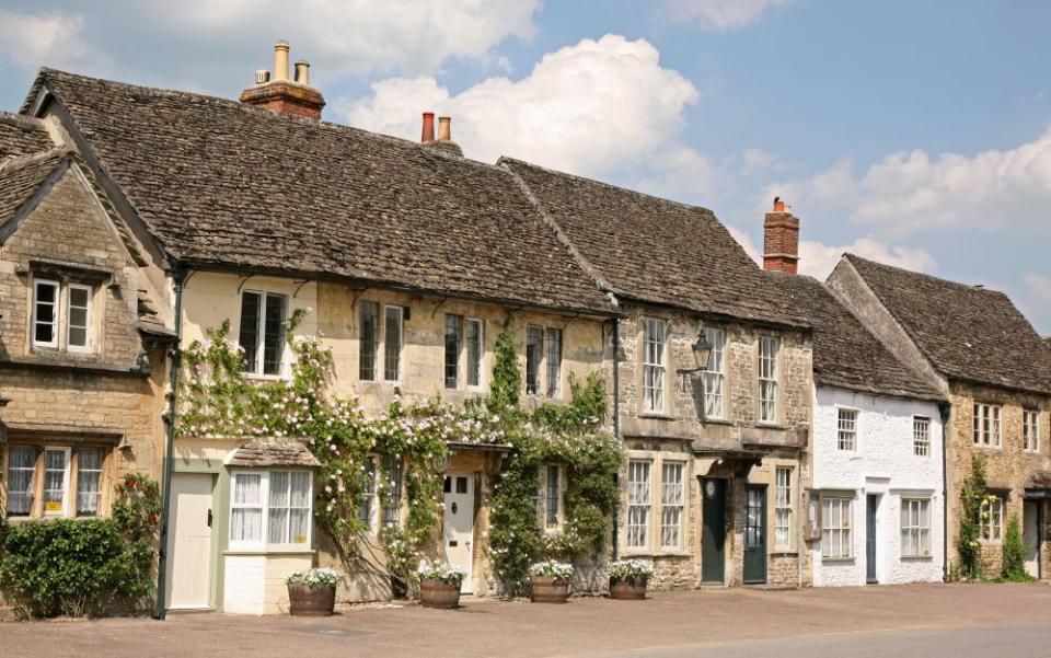
Rambles Beyond Railways by Wilkie Collins
It was not only intended to be used as a guidebook, but Wilkie Collins’s Rambles Beyond Railways (1851) is written with the kind of precision you’ll find in any of the later Shell or Blue guides. It’s a rollicking account of a walking tour he took around Cornwall in August 1850, aged 26, when he travelled to ‘the savage regions beyond’ Plymouth, where the railways had not yet reached (although they were only just behind him).
He was rowed from Devonport to St Germans by an expansively inebriated shrimper, and he hiked from village to town, along the coast, strolling along the tops of the thick stone walls (as we still can), dining on pies, cream and lobsters, trying to find Cornish speakers, looking for ghosts, becoming almost indecently excited about the prospect of Land’s End (which he then couldn’t find without a guide). We don’t have that problem today, what with the car park and hyperactive gift shops, but much of the rest of Rambles is as fresh and informative as it ever was.
I have wriggled through the same caves at Kynance Cove, followed Wilkie to Tintagel and Helston (‘the dullest of towns’)
I have wriggled through the same caves at Kynance Cove, followed Wilkie to Tintagel and Helston (‘the dullest of towns’, he sniffed), stood on the Cheesewring (where the view, if you squint out the pylons, is just as he described) and caressed the same standing stones. He even sniggers at the “fly blown mock jewellery” and “dusty nuts” in a shopfront in Looe, launching 150 years of seaside innuendo. You can skip some of his waffle about Cornish theatre in the later stretches of the book; but his descriptions of his visit down a tin mine and especially the wild night-time haul of pilchards at St Ives, where the entire town turned out to bring in the fish, are exhilarating.
The people of Cornwall will always prosper, he wrote, thanks to the “inexhaustible mineral treasures in the earth, and the equally inexhaustible shoals of pilchards which annually visit the coast”.
He can be careless with his research (but who wouldn’t want to read what Wilkie Collins has to say about druids?), and he seems to have become bored with the book by the end, but Rambles still holds its own as a guide. It’s even topical. When Wilkie reached Lizard, he found a doctor down from London holding a smallpox party at the inn (now the Witchball), inoculating local babies with “a lot of fine fresh matter”. Wilkie scuttled out, and headed for the coast, where the air, he sighed, was “better than laudanum”. He ended his journey at Forrabury church with a ghost story, before heading back to London on the train, and so “our pleasant days of strolling travel are ended”.
Peter Fiennes is the author of Footnotes: A Journey Round Britain in the Company of Great Writers
‘Hutton was gloriously opinionated. He thought Stonehenge “sterile” … entire valleys displeased him’
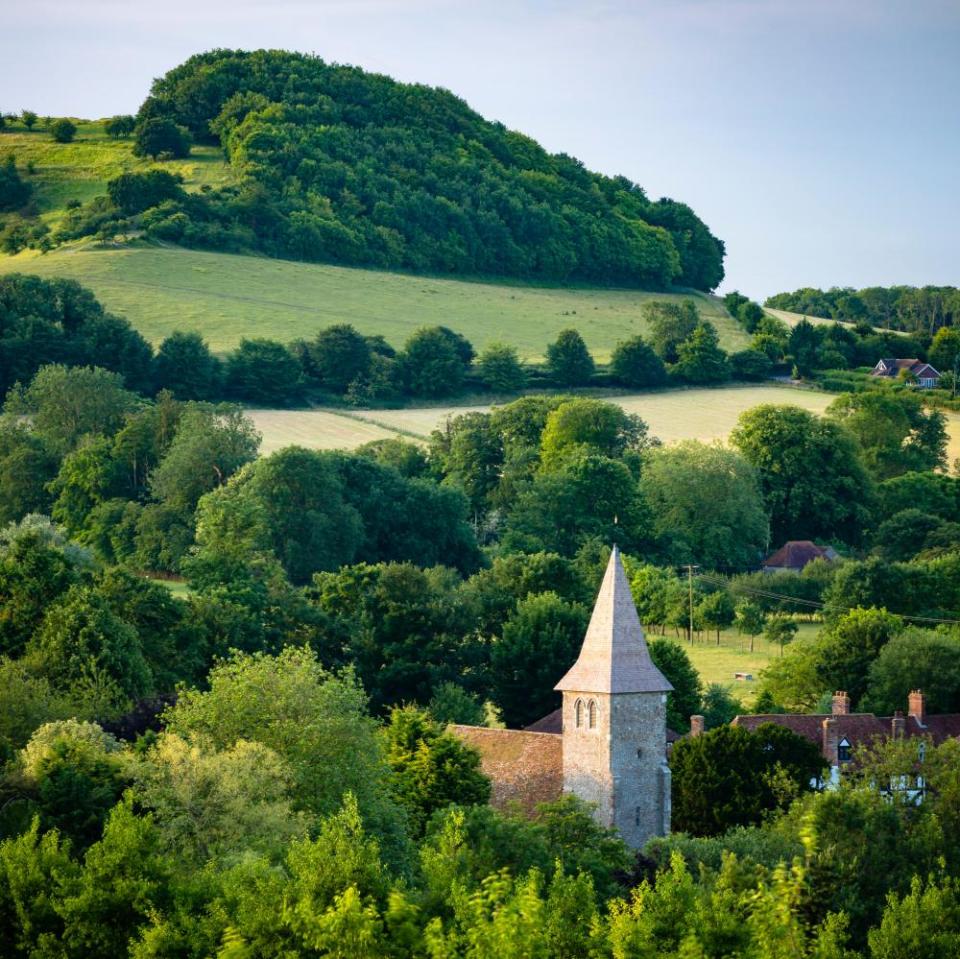
Highways and Byways in Wiltshire by Edward Hutton
Years ago I came across a faded little volume in a secondhand bookshop near Salisbury: Highways and Byways in Wiltshire by Edward Hutton, published during the first world war. Inside its pages a world opened before me: little lanes, silent villages, rivers that meandered through unspoilt landscapes of willow and elm.
The books weren’t practical, but their idiosyncrasies were liberating
Hutton was also gloriously opinionated. An upper middle-class Edwardian gentleman, his writing was often snobbish. He praised Salisbury fulsomely, but disliked its ruined predecessor, Old Sarum, dismissing it as “all these dead stones”. He thought Stonehenge “sterile” and called Wilton’s breathtaking Italianate church “a horrible building”. Entire valleys displeased him.
Nevertheless, he found much to marvel at. He could be elegiac or rhapsodic, and what he liked, he loved – the Wylye valley, Old Swindon Town, Lacock. He was fascinated by Avebury. Mostly, I didn’t believe this portrait of a bucolic English county, untouched by modernity. For all that, I loved the book, and Hutton’s trenchant opinions.
The Wiltshire volume introduced me to the Highways and Byways series, exploiting a new middle-class market, liberated by railways and bicycles. First appearing at the end of the 19th century, each book also had a map and sketches by well-known artists. The publishers, Macmillan, focused on holiday hotspots: Hardy’s Wessex, Shakespeare country and, exotically, Normandy.
That chance encounter was the start of an oddball literary journey; I snapped up each new volume I found. They weren’t guidebooks in the modern sense; subject to the authors’ whims, sometimes they omitted huge chunks of their counties – the author of the Hampshire book left out almost all the New Forest and the Isle of Wight “for reasons of space”, although the book is more than 400 pages long. Elsewhere, the authors allowed themselves flights of fancy. In the Dorset book, Sir Frederick Treves (surgeon to Edward VII and author of The Elephant Man) imagined an iron-age couple tramping over swampy land. The books weren’t practical, but their idiosyncrasies were liberating.
I took them on journeys, packed into bike panniers. I visited Weymouth (“incommoded by its exceptional popularity”); to what was once Heath Row, now buried beneath the airport (“The flat country hereabouts … is mainly stretches of market gardens and cornfields”) and Covent Garden (“Disappointed hopes, shattered ambitions, tragic suicides”). I explored the imported ruins of Leptis Magna at Virginia Water in Surrey (“northern rains and northern ivy have done their work”) and discovered a forlorn monument to the importance of Brentford in history, sited near the Thames when the Middlesex book was published, since transplanted to a busy roadside. Tales of smugglers from Devon and Cornwall enlivened a walk from Seaton to Beer. I’m grateful for my lucky find and the complicated vision of England as it would have appeared to a certain sort of traveller a century ago.
Jon Woolcott works for Little Toller Books. He is writing a book about the southern counties of England
‘Pen-and-ink sketches make this little book a here-be-dragons treasure map’
The Harcamlow Way (1980) and other guides to Essex and Hertfordshire by Fred Matthews and Harry Bitten
It began with a line on a map. Ten years ago, I moved to the border between Hertfordshire and Essex and began to explore the local footpaths. One long-distance route, marked by green diamonds on the Ordnance Survey map, was labelled Harcamlow Way – a 140-mile walk, looping from Harlow to Cambridge and back in a huge figure of eight.
The Harcamlow was one of many inventive collaborations between Fred Matthews, secretary of the West Essex Ramblers group, and his fellow rambler Harry Bitten. They published a guidebook, The Harcamlow Way, in 1980, now long out of print. I bought the only copy I could find online for £23.90 – quite steep for a battered, 50-page booklet. But this first edition walking guide helped unlock local landscapes for me, with their ancient tracks and tumuli, bluebell woods and fields of poppies.
Bitten’s pen-and-ink sketches of a church spire or thatched cottage in the corner of his hand-drawn maps are part of what makes this little book a here-be-dragons treasure map. Warnings in capital letters suggest the hazards of research: “(BE VERY CAREFUL. THE RIVER STORT IS ON THE FAR SIDE OF THE BANK. DO NOT RUN!)”
The adventures these two fellow walkers inspired have brought me more than weekend fun
Matthews died in 2009 and Bitten in 2017, but a legacy of green diamonds across several OS maps invites walkers to follow in their energetic footsteps. In the decade before the Harcamlow, they devised the Three Forests Way, a circular route that links Hatfield, Hainault and Epping Forests, and St Peter’s Way, from Chipping Ongar to the Essex coast. I followed both these walks, finding prehistoric earthworks under bronzed beech trees, or the seventh-century chapel of St Peter-on-the-Wall, overlooking marshes and wild shell beaches.
In 1984 they published a guide to the Essex Way, an 82-mile trek across the county from Epping to Harwich. I walked that too. The most memorable part was approaching the wide Stour estuary with the high tide and reeds glowing gold in the setting sun. The adventures these two fellow walkers inspired have brought me more than weekend fun. My own, slightly quixotic project to publish updated guides to the Harcamlow Way was an unexpected milestone in my career as a travel writer. It led to further guidebooks and regular work for magazines, driven by a Bagginsesque curiosity about what’s outside the door.
In their characteristically understated introduction to the original Harcamlow Way guide, Matthews and Bitten describe the route starting and finishing beside the River Stort, which is less than a mile from my house. The walk goes on, they write, “over a number of low hills and through wooded valleys” to discover “a land of views, flowers and birdsong”. They recommend taking the time to wander around villages along the way and mention several interesting relics for “railway enthusiasts”. Highlights for me include wall paintings in some of the old churches: a dancing devil in Kingston, near Cambridge, and fragments of St George in round-towered St Mary’s, Bartlow, where only the dragon remains. The gentle preface ends by wishing readers “happy walking and fine weather”.
Phoebe Taplin, author of 11 guidebooks, including two on the Harcamlow Way
‘It has a determination to winkle out forgotten corners that I love’
Buildings of England: York and the East Riding by Nikolaus Pevsner

Scanning my shelves of travel books and guides, I notice the gaps: the books that went travelling with me, but never returned. Geoff Crowther’s Africa on a Shoestring, the first one I ever bought. Without that book, Sudan might never have happened for me, certainly not Darfur and Zaire. Sadly, Geoff died recently: I hope he knew how many vivid experiences he had enabled.
Other books barely survived their journeys, spines broken, pages missing and covers battered: the Moon Guide to Indonesia, for example, the classic product of a generation of hippy travel guide writers who knew how to weave magic with practicality. But for me it’s often the book that is not a direct travel guide that somehow inspires.
The Buildings of England series (part of the Pevsner Architectural Guides) has an air of nostalgia for ancient traditions and a determination to winkle out forgotten corners that I love. Written by Nikolaus Pevsner, a wartime German refugee and anglophile, the first volume was published in 1951 (followed by 45 others, all still in print) and set the standard for architectural merit in heritage buildings.
I walked York with new eyes, finding gems like Lady Peckitt’s Yard behind the house of Sir Thomas Herbert in Pavement
I first came across the books when I was giving a talk on travel writing in a building just off Micklegate in York. I wanted some information on that street because I’d decided, during the interval, to suggest a walking rediscovery of what were familiar surroundings to everyone present. Pevsner came up trumps: Micklegate “is without any doubt the most rewarding street in York” it begins, going on to detail the historic architectural features and dates of every significant building.
The language is precise and unemotional, yet it succeeds. I walked York with new eyes, carrying it with me, finding gems like Lady Peckitt’s Yard behind the house of Sir Thomas Herbert in Pavement. Pevsner never digresses so does not mention that Herbert stood on the gallows with Charles I, but once I had the name I chased that up elsewhere.
Once I was into the book, other gems came up and prompted trips. I noticed a reference to the village of Rudston that I had driven through many times on my way to the Yorkshire coast. “In the churchyard,” I read, “the largest standing stone in Britain, 25 and a half feet high and 6 feet wide.” I have since sat under that stone many times, wondering how neolithic humans moved it. Sometimes the descriptions just demand a visit: the Jacobean house at Burton Agnes in East Yorkshire is described as possessing, “the most crazily overcrowded chimneypiece of all England”. I just had to go, discovering a treasure with wonderful interiors and gardens. It’s this enduring power of Pevsner to inspire trips, I believe, that has allowed it, somewhat improbably, to survive.
Kevin Rushby
‘It became the inspiration for cycle rides exploring the beautiful, almost secret Kent villages to the south of Canterbury’
The Shell Guide to Kent by Pennethorne Hughes
Opening a new London travel bookshop, Daunt Books, in Marylebone in 1990, a set of Shell County Guides were necessarily among the first books to be shelved. Originally conceived and edited by John Betjeman and a coterie of his writer and artist friends in the 1930s, these handsome glovebox guides would reveal a Britain beyond the castles and stately homes. Long out of print, they remain iconic, loved for their wonderful black-and-white photography and their often waspish humour, but most of all for opening up a lesser-known countryside of follies and quiet villages with forgotten histories.
On quieter days I would browse the Kent Shell guide, by Pennethorne Hughes. It follows Betjeman’s format of introductory essay and accompanying gazetteer, and it quickly became the inspiration for weekend cycle rides exploring the beautiful, almost secret villages to the south of my then home in Canterbury, and especially the stunning Elham valley. I’ve never forgotten that first Shell-inspired trip made one clear summer day 20 years ago.
Riding south through busy Bridge, with its “cheerful dignity”, I followed the quiet lane that follows the Nailbourne stream, to Bishopsbourne. From the guide I learned that Joseph Conrad had lived in two villages in the area, and planned the route to take in both. Bishopsbourne – where Conrad died at his house, Oswalds – was still as Hughes described: “an enchanting place, green and peaceful” and blessed by a fine pub.
The language of the guides is always deliberately plain and accessible – no architectural glossary required here
From here beautiful rolling hills led me on through pleasant Barham to the valley’s crowning glory – Elham. Hughes is a mite sniffy – “it remains an attractive village in spite of new buildings” – but that day Elham appeared the perfect Kentish village with its charming square and church tucked below the downland. If Hughes’ comment suggests snobbishness to a modern reader, it’s also true that the language of the guides is always deliberately plain and accessible – no architectural glossary required here.
A mile or so further on in Lyminge, Hughes diverted me to the pretty church on the site of a seventh-century abbey dedicated to St Ethelburga. I then headed south-east to Postling, a pretty hamlet where Conradlived in a gorgeous house by Pent Farm and was visited, Hughes tells us, by Shaw, Wells and Henry James. Then it was time to toil up and over the ridge of the downs with fine views of Romney Marsh and across to Dungenness.
Fine country roads through Hastingleigh and the charming villages of Petham and Waltham completed a memorable day that bore ample testament to Hughes’s words “To know one parish in detail is perhaps the work of a lifetime: to know a whole county is impossible. But in Kent it is fun to try.”
Twenty years on, and thanks to his excellent guide, I’m still having fun.
Brett Wolstencroft, manager of Daunt Books, Marylebone, London

